Phoenix monsoon storms bring measurable rainfall, storm damage in San Tan Valley | Aug. 17
PHOENIX - The Phoenix metropolitan area got another taste of the monsoon on Aug. 17, bringing lightning, wind and rain.
Plus, Thursday night's rain is official. The National Weather Service recorded 0.2" of rain at Sky Harbor Airport just before 9 p.m., ending a 147-day streak without measurable rainfall.
The East Valley saw plenty of storm action, with residents in Queen Creek and Mesa reporting hail and high winds.
Some residents in San Tan Valley said it felt like a tornado had moved through their community.
"I've never seen the wind come sideways like that…so strong," said Terry, who's lived in the suburb for 18 years. "[I've seen] rain and wind, but never this amount of mass destruction."
Sidewalks were damaged, brick walls were knocked over, and trees were uprooted in one neighborhood near Gantzel Road and Empire Boulevard.
More stormy weather is yet to come as Hurricane Hilary strengthens off the Pacific coast of Mexico. Forecasters are warning that the Category 4 hurricane will impact the southwestern United States with the threat of flash flooding.
The National Weather Service says if Hilary makes landfall in the U.S., it would be the first tropical storm to hit southern California since 1939.
You can check the latest weather conditions by visiting the FOX 10 Phoenix weather page, or download the Free FOX 10 Weather app, which is available on Apple iOS and Android.
Featured


Arizona weather forecast: How will Hurricane Hilary impact the state?
The best rain chances across the state will arrive this weekend. The pattern combines a typical monsoon setup, a high pressure "heat dome" to the east and a small area of low pressure to the west, with a tropical system: Hilary.
Satellite and radar

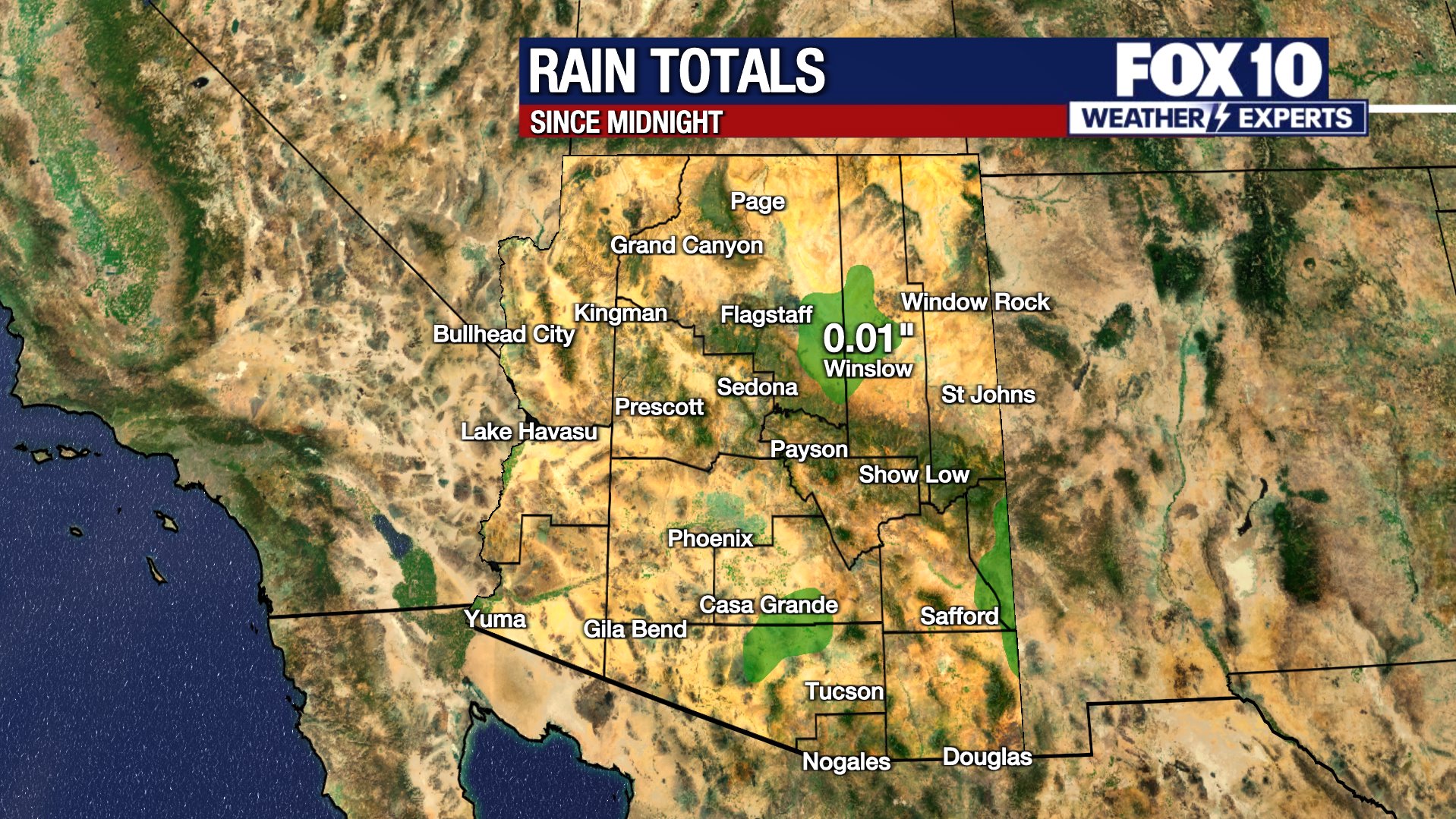
Rain totals