Flood Watch
until MON 5:00 AM MST, Eastern Cochise County below 5000 ft including Douglas/Wilcox, Upper Gila River and Aravaipa Valleys including Clifton/Safford, Southeast Pinal County including Kearny/Mammoth/Oracle, Western Pima County including Ajo/Organ Pipe Cactus National Monument, Dragoon/Mule/Huachuca and Santa Rita Mountains including Bisbee/Canelo Hills/Madera Canyon, Tucson Metro Area including Tucson/Green Valley/Marana/Vail, Tohono O'odham Nation including Sells, Baboquivari Mountains including Kitt Peak, Upper San Pedro River Valley including Sierra Vista/Benson, Chiricahua Mountains including Chiricahua National Monument, Galiuro and Pinaleno Mountains including Mount Graham, Santa Catalina and Rincon Mountains including Mount Lemmon/Summerhaven, White Mountains of Graham and Greenlee Counties including Hannagan Meadow, South Central Pinal County including Eloy/Picacho Peak State Park, Upper Santa Cruz River and Altar Valleys including Nogales, Northwest Plateau, Lake Havasu and Fort Mohave, North Phoenix/Glendale, Aguila Valley, Mazatzal Mountains, Tonopah Desert, Gila Bend, San Carlos, East Valley, Northwest Pinal County, Northwest Valley, Southeast Valley/Queen Creek, Globe/Miami, Deer Valley, Fountain Hills/East Mesa, Apache Junction/Gold Canyon, Buckeye/Avondale, Tonto Basin, Rio Verde/Salt River, South Mountain/Ahwatukee, Dripping Springs, Southeast Gila County, Pinal/Superstition Mountains, Scottsdale/Paradise Valley, New River Mesa, Sonoran Desert Natl Monument, West Pinal County, Superior, Cave Creek/New River, Central Phoenix, Yavapai County Mountains, Little Colorado River Valley in Navajo County, Western Mogollon Rim, Coconino Plateau, Chinle Valley, Yavapai County Valleys and Basins, Oak Creek and Sycamore Canyons, Grand Canyon Country, Chuska Mountains and Defiance Plateau, Northeast Plateaus and Mesas South of Hwy 264, Little Colorado River Valley in Coconino County, Black Mesa Area, Marble and Glen Canyons, Northeast Plateaus and Mesas Hwy 264 Northward, Northern Gila County, White Mountains, Kaibab Plateau, Eastern Mogollon Rim, Little Colorado River Valley in Apache County

Arizona weather forecast: Warmer-than-normal highs continue in Phoenix

Our long-lasting warm pattern continues this week.

Today:

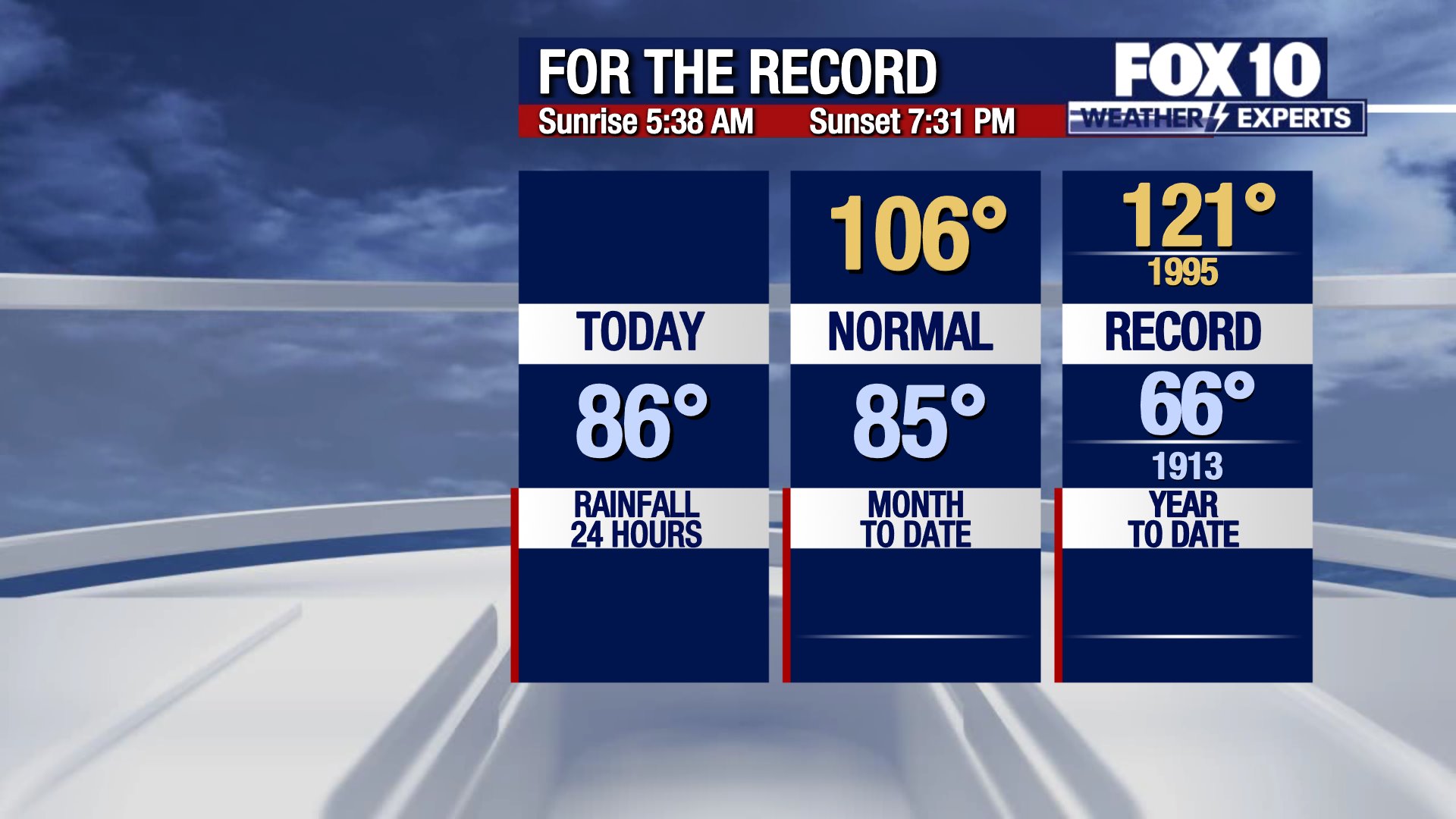
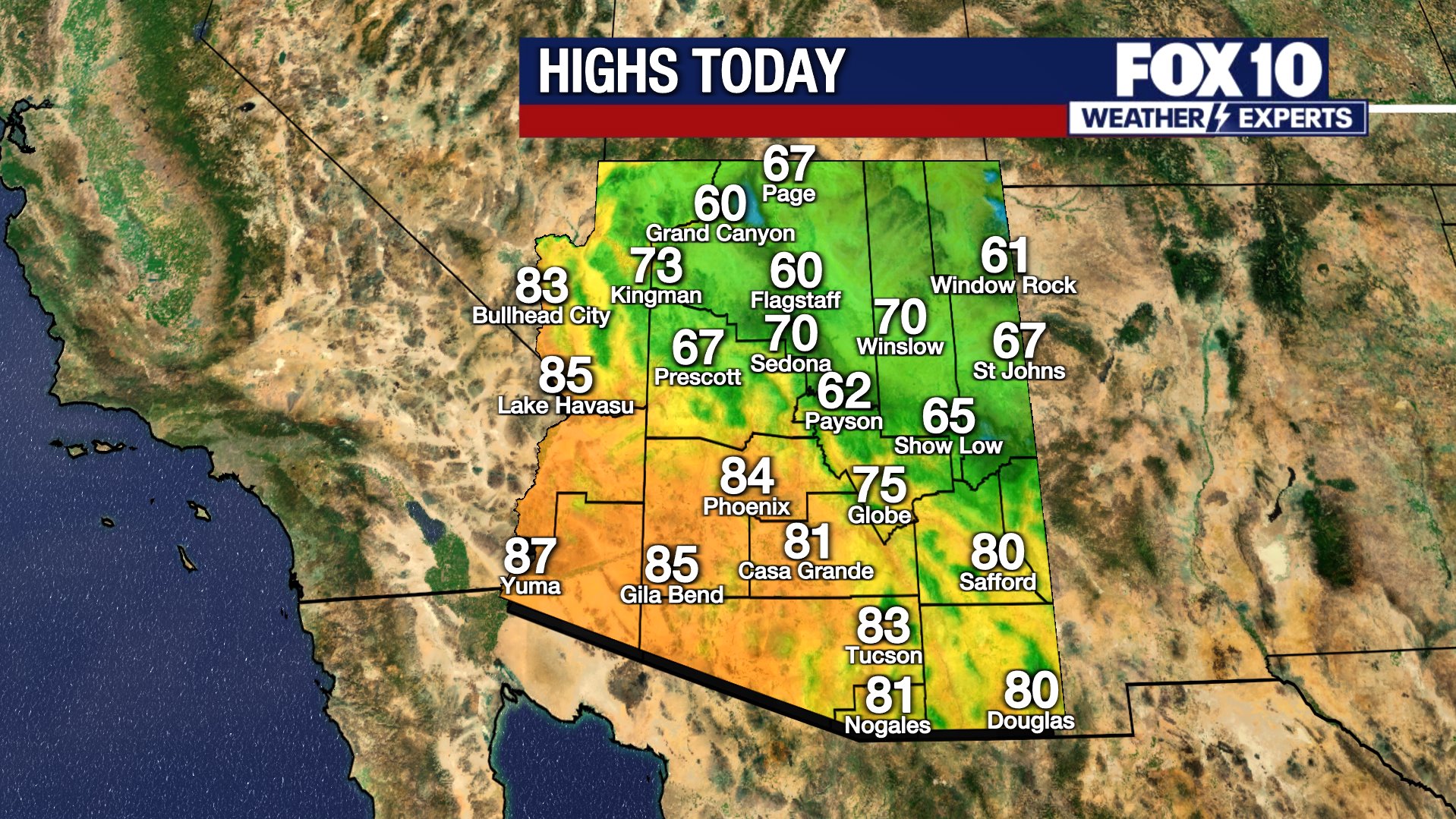
Monday was an unseasonably warm day across Arizona. Temperatures climbed to 89 degrees in Phoenix, and there is more of that to come. 

The average at this time of year is around 82 degrees. While the low 90s is warm for early November, it is not record-setting. The record highs for the next few days sit in the mid and upper 90s.

Tomorrow:

Overnight lows will drop into the low 60s Tuesday morning, before climbing back to 89 degrees Tuesday afternoon. 

Later This Week:

High temperatures will stay in the mid to upper 80s all week, with dry, mostly sunny skies. 

The forecast high temperature remains near 90 through Wednesday, then slips into the middle 80s Thursday through Saturday. Overnight lows will consistently sit in the upper 50s to low 60s in the Valley. In northern Arizona, this calm pattern will keep conditions cold in the morning but beautiful in the afternoon.

No major weather is moving into the southwest this week, thanks to high pressure over the southern U.S.

Big picture view:

In the extended forecast, there is a low chance for a changing pattern around day 10. This may bring cooler temperatures to the state and potentially some moisture.

You can always check the latest weather conditions by visiting the FOX 10 Phoenix weather page, or download the Free FOX 10 Weather app, which is available on Apple iOS and Android.

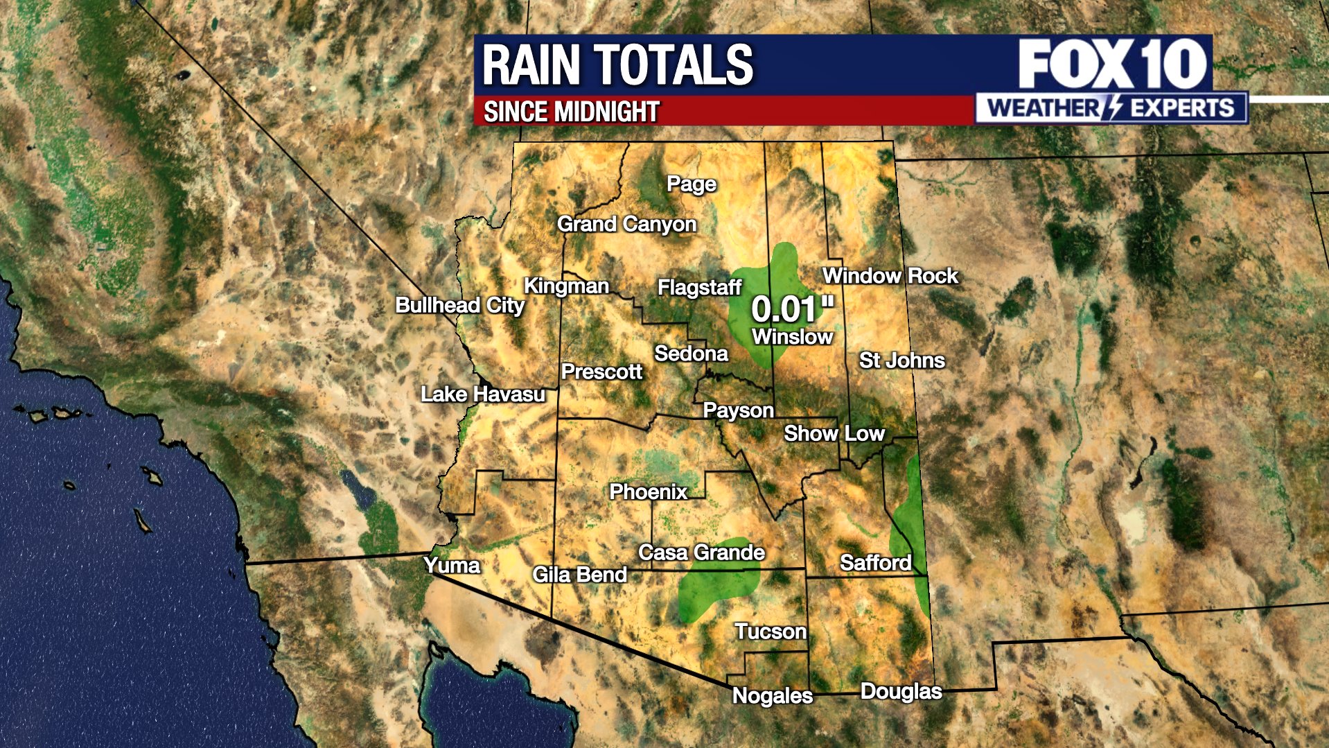
Scroll down this page for satellite and radar, day planner, records, current temperatures, 10-day forecast, forecast highs, and recent rainfall totals, plus live video feeds.

sat rad

Day Planner

almanac

currents

today

tomorrow

rainfall

Road Conditions

  • Call 511 anywhere in Arizona or 1-888-411-ROAD (7623)
  • az511.com

The Source: Information for this story was provided by the FOX 10 Weather Experts.

Weather ForecastPhoenixNews