

Painted Wagon Fire burns nearly 500 acres west of Wittmann; fully contained

Painted Wagon Fire burns nearly 500 acres west of Wittmann
More than 400 acres of land is burning in Maricopa County, dubbed the Painted Wagon Fire. Authorities ask residents nearby to prepare to evacuate.
WHISPERING RANCH, Ariz. - Crews have fully contained a fast-moving brush fire that has burned 490 acres southwest of Wickenburg near 299th Ave. and W. Painted Wagon Trail.
As of June 28, the fire is 100% contained, according to the state department of forestry. Five structures were destroyed, including one primary, according to Arizona State Forestry.
Calbert Gillett of the Maricopa County Sheriff's Office stated, "A 'SET' notification has been issued for the area of 299th Avenue and Painted Wagon trail due to the Painted Wagon Fire burning 20 miles West of Wittmann. Fire crews and emergency personnel are working to assist with the with the rapidly growing fire. At this time, we ask that residents remain alert and be prepared to evacuate, if needed."

Gillett said fire and emergency personnel were able to contain the fire and evacuations are not needed at this time. Residents will go back to the "READY" mode.
Arizona Fire & Medical Authority says to avoid the area.
MCSO says the cause of the fire is not known at this time.
Resources:
Related
Tucson firefighters responding to brush fire near I-10
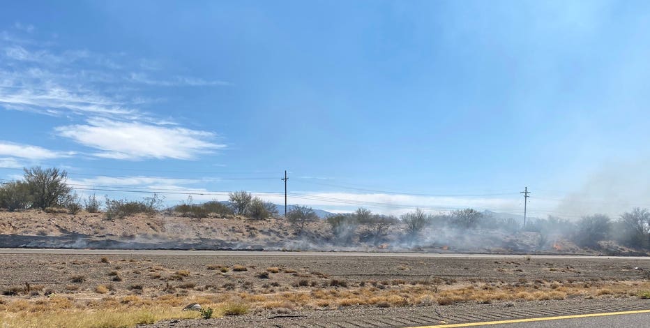
Tucson firefighters are working to control a brush fire near the I-10 at milepost 273.
Related

More than 100 Arizona inmates helping fight Bighorn fire, Bush Fire
113 inmates from prisons across Arizona are helping fight the Bush and Bighorn wildfires raging in the state.
Related
Residents allowed to return home as crews gain upper hand in Aquila Fire battle
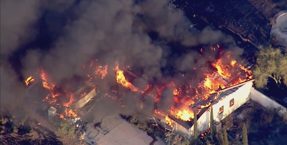
According to information released by the Arizona State Forestry, the Aquila Fire has burned 897 acres of land as of June 24 and it is 5% contained. One primary structure and at least 10 outbuildings are confirmed lost.