

Arizona weather forecast: Warm pattern holds before weekend storms and flood warnings arrive
Phoenix weather: 80s on Veterans Day, storms by Friday
Sunny skies dominate Arizona before cooler temperatures and scattered rain arrive for the weekend.
PHOENIX - Happy Veterans Day!
What to Expect on Wednesday:
A clear sky covers the High Country and the region yet again, continuing a trend from the last few days with very little change to the forecast. FOX Vision is keeping conditions dry, clear, and warm for this time of year. While temperatures are not excessively hot, conditions remain warmer than average and warmer than the past month or so, when the area experienced frequent cooler periods and wet weather before drying out.
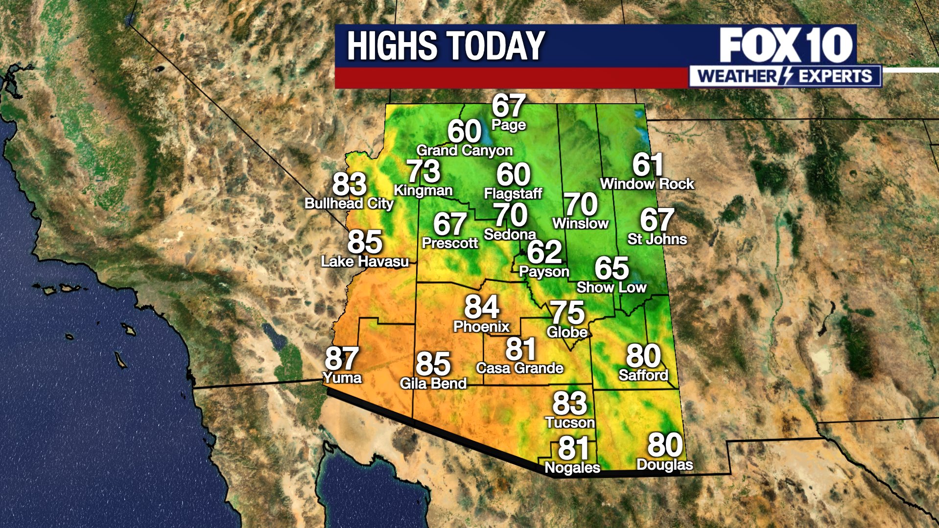
High temperatures across Arizona reach 84 degrees in Phoenix, 62 degrees in Winslow, and the 80s in communities such as Lake Havasu City and Bullhead City.
Residual flooding remains in place mostly along the Salt River between Granite Reef and Tempe Town Lake until 11 a.m. as additional water releases have been taking place. Meanwhile, a new flood warning is in effect from Painted Rock Lake downstream along the Gila River all the way to Dateland through at least next Tuesday. This warning stems from planned slow water releases, which may cause flooding in low-lying areas and farmlands near the Gila River down by Gila Bend.
Water elevation numbers highlight an exceptional shift for those tracking where runoff is heading as water flows through Phoenix along the Salt River. While some water is expected to absorb into the ground to recharge the aquifer, significant amounts have pooled in Painted Rock Lake, a flood control basin. The lake is typically dry and remained dry at a base elevation of 530 feet on Nov. 4. Within five days, the water level rose to a peak of 571.9 feet on Nov. 9. The elevation remains near 571 feet but has started dropping slightly following the start of controlled releases, which will continue into next week.
Rain This Weekend:
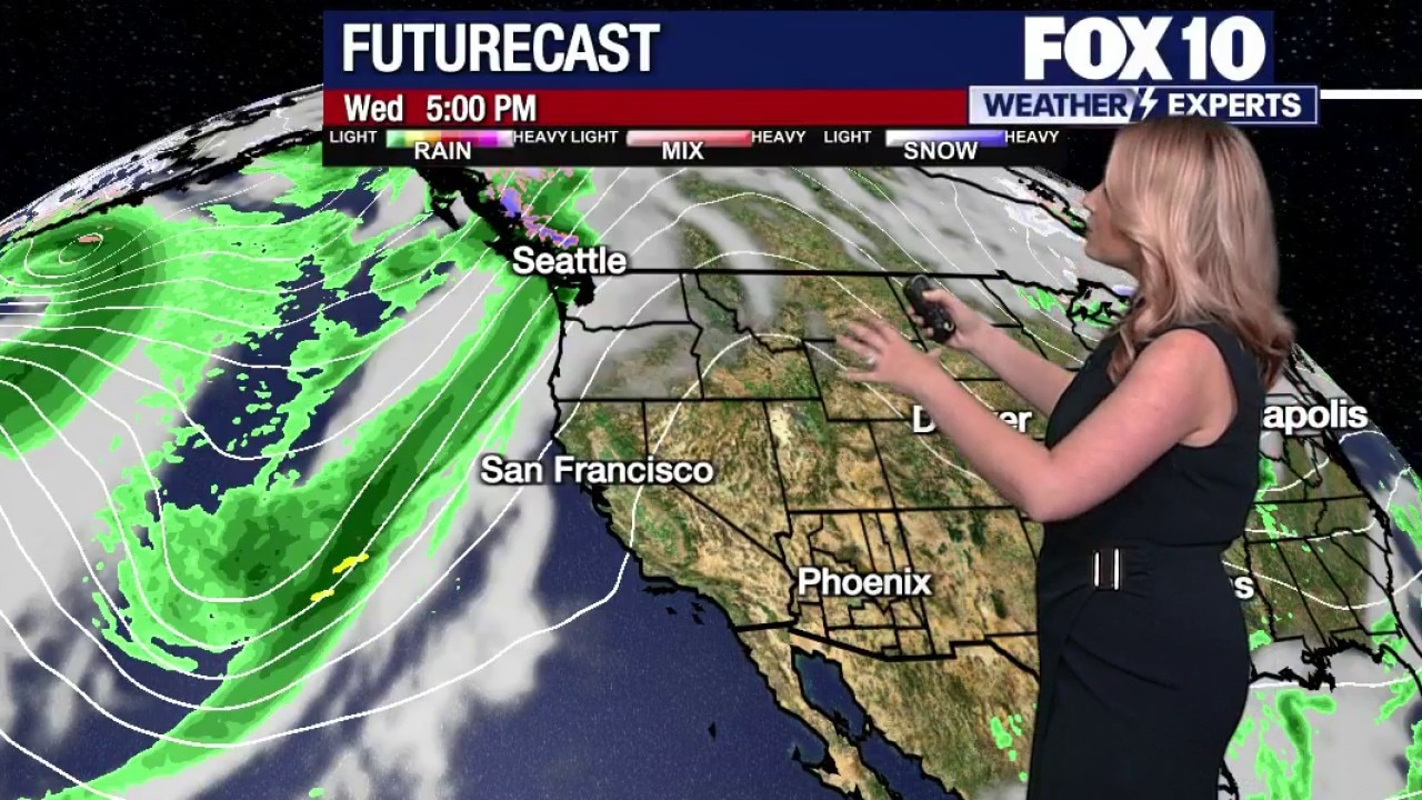
Futurecast modeling shows dry and clear conditions prevailing through today and Thursday before a shift arrives on Friday. The change will bring extra cloud cover followed by scattered shower chances and potentially an isolated thunderstorm. A large trough of moisture previously centered over Canada and the Pacific Northwest is beginning to break off, with the first wave crossing into the area Friday afternoon into the evening. Scattered rain chances will primarily target southern portions of the state.
A secondary wave follows closely behind on Saturday, tracking across the north to generate additional rain chances focused over central and northern Arizona. A brief break settles in Sunday into Monday before another passing system arrives by Tuesday.
Weekend rain chances in Phoenix stand at about 30% on Friday, with the best precipitation chances situated farther south. On Saturday, rain probabilities shift toward central and northern Arizona, where Phoenix faces roughly a 40% chance of storms.
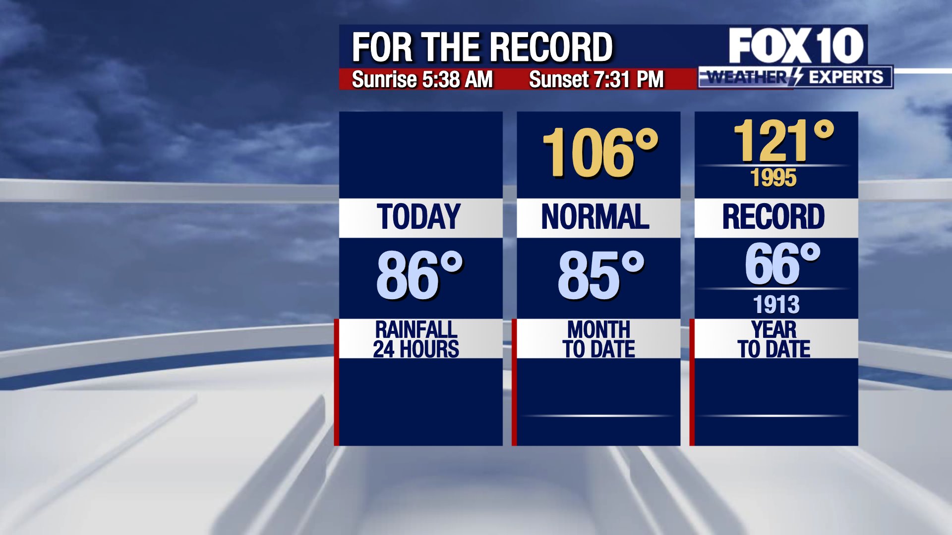
The 10-day forecast projects temperatures peaking at 86 degrees on Thursday before falling to 74 degrees by Saturday.
Looking Further Ahead:
Next week may bring one to two additional rounds of wet weather, dropping daytime highs into the low 70s.
You can always check the latest weather conditions by visiting the FOX 10 Phoenix weather page, or download the Free FOX 10 Weather app, which is available on Apple iOS and Android.
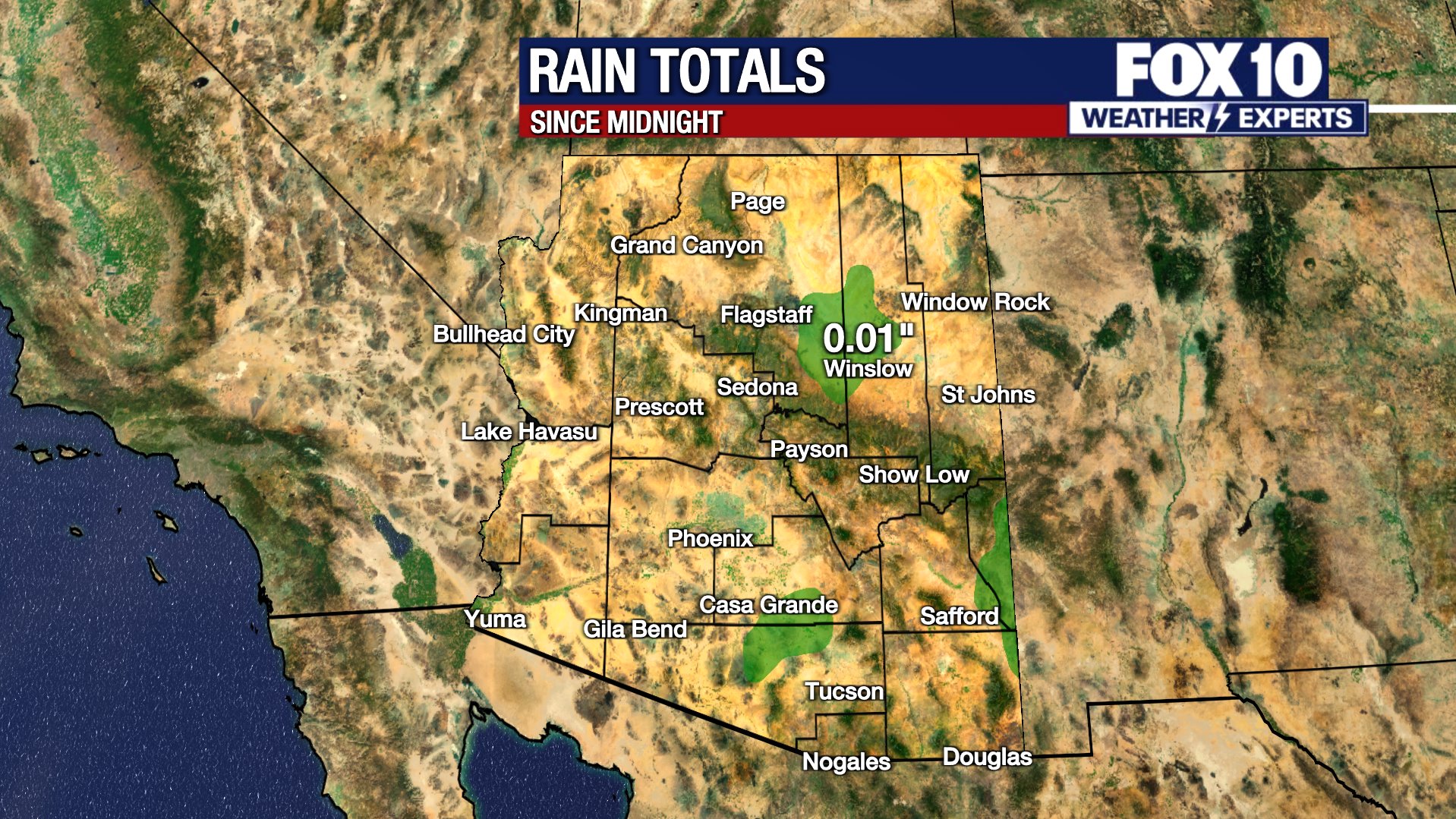
Scroll down this page for satellite and radar, day planner, records, current temperatures, 10-day forecast, forecast highs, and recent rainfall totals, plus live video feeds.





Road Conditions
- Call 511 anywhere in Arizona or 1-888-411-ROAD (7623)
Watch live: FOX Weather
The Source: Information for this article was gathered by the FOX 10 Weather Experts.