

Brooklyn Park plane crash: No surviving passengers, residents of home safe

Brooklyn Park officials give update on plane crash [RAW]
Brooklyn Park officials say there were no surviving passengers from the plane crash, but the residents of the home the plane crashed into are safe.
BROOKLYN PARK, Minn. (FOX 9) - A plane crashed into a Brooklyn Park home on Saturday afternoon. No passengers from the plane survived, but officials say the residents of the home are safe.
Brooklyn Park plane crash

Brooklyn Park house burns after plane crash [RAW]
Raw footage shows a fire at a home in Brooklyn Park after a plane crashed Saturday afternoon.
What we know:
A plane crashed near the intersection of 109th Avenue North and Noble Parkway in Brooklyn Park around 12:20 p.m. on Saturday afternoon, according to the Federal Aviation Administration (FAA).
Brooklyn Park police said there were no survivors from the plane, but no one in the house was injured.
FAA officials say the plane, a SOCATA TBM7, which is a single-engine business aircraft, departed from Des Moines International Airport in Iowa and was bound for Anoka County-Blaine Airport.
The FAA and the National Transportation Safety Board (NTSB) will investigate the crash, with the NTSB taking the lead.
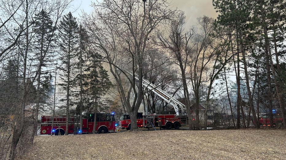
A home on fire after a plane crash in Brooklyn Park. (FOX 9)
What we don't know:
Official details on other injuries or the cause of the crash have not yet been released.
FAA officials say they do not know how many people were on board the plane.
What they're saying:
Minnesota Gov. Tim Walz shared a post saying "My team is in touch with local officials on the scene in Brooklyn Park and we are monitoring the situation closely. Grateful to the first responders answering the call."
The Source: This report was written from a press release from the Federal Aviation Administration (FAA), and a press briefing from Brooklyn Park officials.