Flood Watch
until MON 5:00 AM MST, Eastern Cochise County below 5000 ft including Douglas/Wilcox, Upper Gila River and Aravaipa Valleys including Clifton/Safford, Southeast Pinal County including Kearny/Mammoth/Oracle, Western Pima County including Ajo/Organ Pipe Cactus National Monument, Dragoon/Mule/Huachuca and Santa Rita Mountains including Bisbee/Canelo Hills/Madera Canyon, Tucson Metro Area including Tucson/Green Valley/Marana/Vail, Tohono O'odham Nation including Sells, Baboquivari Mountains including Kitt Peak, Upper San Pedro River Valley including Sierra Vista/Benson, Chiricahua Mountains including Chiricahua National Monument, Galiuro and Pinaleno Mountains including Mount Graham, Santa Catalina and Rincon Mountains including Mount Lemmon/Summerhaven, White Mountains of Graham and Greenlee Counties including Hannagan Meadow, South Central Pinal County including Eloy/Picacho Peak State Park, Upper Santa Cruz River and Altar Valleys including Nogales, Northwest Plateau, Lake Havasu and Fort Mohave, North Phoenix/Glendale, Aguila Valley, Mazatzal Mountains, Tonopah Desert, Gila Bend, San Carlos, East Valley, Northwest Pinal County, Northwest Valley, Southeast Valley/Queen Creek, Globe/Miami, Deer Valley, Fountain Hills/East Mesa, Apache Junction/Gold Canyon, Buckeye/Avondale, Tonto Basin, Rio Verde/Salt River, South Mountain/Ahwatukee, Dripping Springs, Southeast Gila County, Pinal/Superstition Mountains, Scottsdale/Paradise Valley, New River Mesa, Sonoran Desert Natl Monument, West Pinal County, Superior, Cave Creek/New River, Central Phoenix, Yavapai County Mountains, Little Colorado River Valley in Navajo County, Western Mogollon Rim, Coconino Plateau, Chinle Valley, Yavapai County Valleys and Basins, Oak Creek and Sycamore Canyons, Grand Canyon Country, Chuska Mountains and Defiance Plateau, Northeast Plateaus and Mesas South of Hwy 264, Little Colorado River Valley in Coconino County, Black Mesa Area, Marble and Glen Canyons, Northeast Plateaus and Mesas Hwy 264 Northward, Northern Gila County, White Mountains, Kaibab Plateau, Eastern Mogollon Rim, Little Colorado River Valley in Apache County

Supreme Court allows Alabama to use congressional map that favors Republicans
Published June 2, 2026 7:47 PM MST

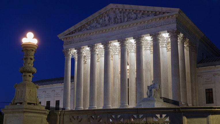
The U.S. Supreme Court is seen at dusk on May 30, 2026 in Washington, DC. (Photo by Kevin Carter/Getty Images)

The U.S. Supreme Court intervened on Tuesday to allow Alabama to use a map that was drawn in 2023 and is expected to favor Republican candidates in this fall’s election.

Big picture view:

Responding to an emergency appeal by the state, the justices blocked a lower court’s ruling that the map discriminates against Black people. Of the seven congressional districts in Alabama, the map, which was adopted three years ago, contains only one with a majority-Black population. 

The backstory:

The state’s appeal to the high court came after a lower court ordered the state to use the same map as it did in the 2024 election. That map, in which Black residents make up a majority or near-majority of two of the congressional districts, resulted in two Black Democrats being elected to Congress.  

What's next:

As the challenges to the revised map wound through the courts, Alabama voters cast ballots in the state’s May 19 primaries. Gov. Kay Ivey has set new special primaries for August 11 in the four districts affected by the changing congressional lines.

The Source: Information for this article was taken from The Associated Press. This story was reported from Orlando.

ElectionSupreme CourtPoliticsNewsAlabama