Flood Watch
until MON 5:00 AM MST, Eastern Cochise County below 5000 ft including Douglas/Wilcox, Upper Gila River and Aravaipa Valleys including Clifton/Safford, Southeast Pinal County including Kearny/Mammoth/Oracle, Western Pima County including Ajo/Organ Pipe Cactus National Monument, Dragoon/Mule/Huachuca and Santa Rita Mountains including Bisbee/Canelo Hills/Madera Canyon, Tucson Metro Area including Tucson/Green Valley/Marana/Vail, Tohono O'odham Nation including Sells, Baboquivari Mountains including Kitt Peak, Upper San Pedro River Valley including Sierra Vista/Benson, Chiricahua Mountains including Chiricahua National Monument, Galiuro and Pinaleno Mountains including Mount Graham, Santa Catalina and Rincon Mountains including Mount Lemmon/Summerhaven, White Mountains of Graham and Greenlee Counties including Hannagan Meadow, South Central Pinal County including Eloy/Picacho Peak State Park, Upper Santa Cruz River and Altar Valleys including Nogales, Northwest Plateau, Lake Havasu and Fort Mohave, North Phoenix/Glendale, Aguila Valley, Mazatzal Mountains, Tonopah Desert, Gila Bend, San Carlos, East Valley, Northwest Pinal County, Northwest Valley, Southeast Valley/Queen Creek, Globe/Miami, Deer Valley, Fountain Hills/East Mesa, Apache Junction/Gold Canyon, Buckeye/Avondale, Tonto Basin, Rio Verde/Salt River, South Mountain/Ahwatukee, Dripping Springs, Southeast Gila County, Pinal/Superstition Mountains, Scottsdale/Paradise Valley, New River Mesa, Sonoran Desert Natl Monument, West Pinal County, Superior, Cave Creek/New River, Central Phoenix, Yavapai County Mountains, Little Colorado River Valley in Navajo County, Western Mogollon Rim, Coconino Plateau, Chinle Valley, Yavapai County Valleys and Basins, Oak Creek and Sycamore Canyons, Grand Canyon Country, Chuska Mountains and Defiance Plateau, Northeast Plateaus and Mesas South of Hwy 264, Little Colorado River Valley in Coconino County, Black Mesa Area, Marble and Glen Canyons, Northeast Plateaus and Mesas Hwy 264 Northward, Northern Gila County, White Mountains, Kaibab Plateau, Eastern Mogollon Rim, Little Colorado River Valley in Apache County

Bear attack at Yellowstone injures 2 hikers
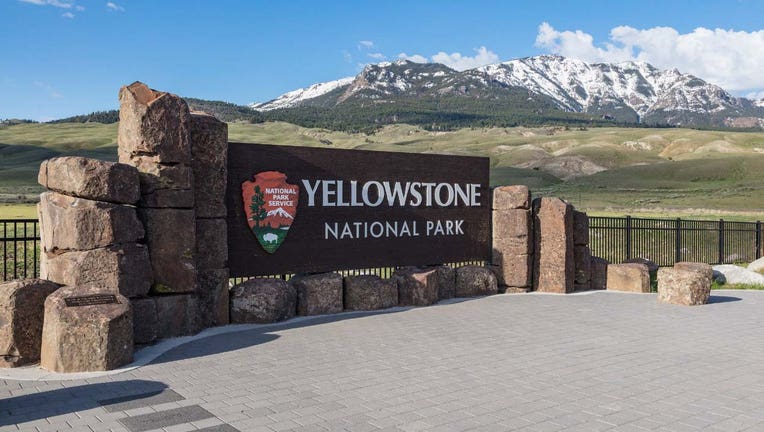
Published May 5, 2026 9:59 AM MST

Image: National Park Service, Yellowstone

Two hikers were injured in a bear attack at Yellowstone National Park. 

The attack happened on Monday, May 4, the park said. 

Yellowstone bear attack

What we know:

The park said the attack happened on the Mystic Falls Trail near Old Faithful. 

Two hikers were injured by one or more bears. 

The park has closed several trail areas, which are listed below, to investigate.

The park said this is the first time this year a bear attack injured a visitor. The last bear attack happened in September 2025, and the last time a visitor was killed by a bear in the park was in 2015. 

What we don't know:

The park service didn’t give details about the hikers that were hurt or their injuries. 

It’s also not clear how many bears were involved in the attack. 

Yellowstone trails temporarily closed

Big picture view

The park has temporarily closed some areas while they investigate the attack. 

Closed:

Areas that are closed:

  • Fairy Falls Trail north of the Grand Prismatic Overlook
  • Sentinel Meadows Trail
  • Imperial Meadows Trail
  • Fairy Creek Trail
  • Summit Lake Trail
  • Backcountry campsites OG1, OD1, OD2, OD3, OD4, OD5
  • Fishing along the Firehole River and associated tributaries within the closure area

Still open :

The park noted the following trails in the affected area are still open: 

  • Fairy Falls Trail to the Grand Prismatic Overlook
  • Midway Geyser Basin
  • Black Sand Basin
  • Portions of the Firehole River outside of the closure is open to fishing

The Source: Information in this article was taken from a Yellowstone National Park press release. This story was reported from Detroit.

Wild NatureWyomingPets and AnimalsNews