Flood Watch
until MON 5:00 AM MST, Eastern Cochise County below 5000 ft including Douglas/Wilcox, Upper Gila River and Aravaipa Valleys including Clifton/Safford, Southeast Pinal County including Kearny/Mammoth/Oracle, Western Pima County including Ajo/Organ Pipe Cactus National Monument, Dragoon/Mule/Huachuca and Santa Rita Mountains including Bisbee/Canelo Hills/Madera Canyon, Tucson Metro Area including Tucson/Green Valley/Marana/Vail, Tohono O'odham Nation including Sells, Baboquivari Mountains including Kitt Peak, Upper San Pedro River Valley including Sierra Vista/Benson, Chiricahua Mountains including Chiricahua National Monument, Galiuro and Pinaleno Mountains including Mount Graham, Santa Catalina and Rincon Mountains including Mount Lemmon/Summerhaven, White Mountains of Graham and Greenlee Counties including Hannagan Meadow, South Central Pinal County including Eloy/Picacho Peak State Park, Upper Santa Cruz River and Altar Valleys including Nogales, North Phoenix/Glendale, Aguila Valley, Mazatzal Mountains, Tonopah Desert, Gila Bend, San Carlos, East Valley, Northwest Pinal County, Northwest Valley, Southeast Valley/Queen Creek, Globe/Miami, Deer Valley, Fountain Hills/East Mesa, Apache Junction/Gold Canyon, Buckeye/Avondale, Tonto Basin, Rio Verde/Salt River, South Mountain/Ahwatukee, Dripping Springs, Southeast Gila County, Pinal/Superstition Mountains, Scottsdale/Paradise Valley, New River Mesa, Sonoran Desert Natl Monument, West Pinal County, Superior, Cave Creek/New River, Central Phoenix, Northwest Plateau, Lake Havasu and Fort Mohave, Yavapai County Mountains, Little Colorado River Valley in Navajo County, Western Mogollon Rim, Coconino Plateau, Chinle Valley, Yavapai County Valleys and Basins, Oak Creek and Sycamore Canyons, Grand Canyon Country, Chuska Mountains and Defiance Plateau, Northeast Plateaus and Mesas South of Hwy 264, Little Colorado River Valley in Coconino County, Black Mesa Area, Marble and Glen Canyons, Northeast Plateaus and Mesas Hwy 264 Northward, Northern Gila County, White Mountains, Kaibab Plateau, Eastern Mogollon Rim, Little Colorado River Valley in Apache County

Cherry blossom peak bloom arrives in DC, boosted by warm weather
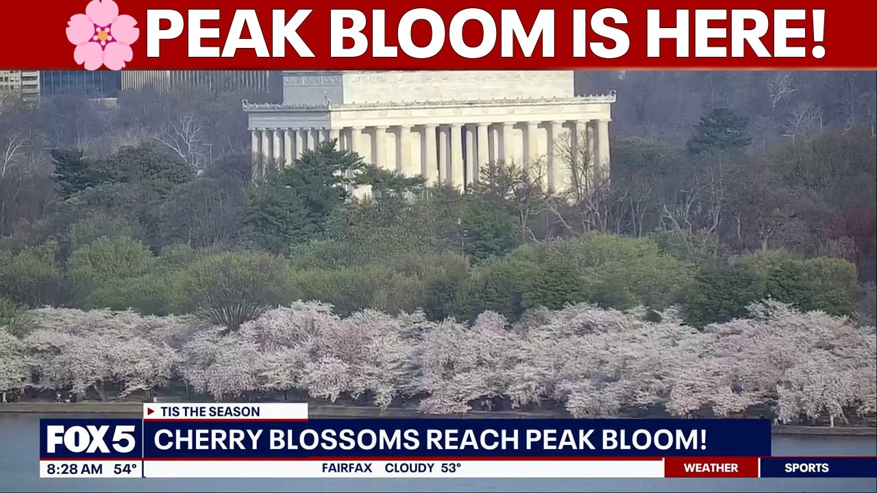
Peak bloom has arrived for Washington, D.C.’s cherry blossoms, the National Park Service announced Thursday.

What we know:

Warm temperatures near 60 degrees on Wednesday and warmer conditions on Thursday helped speed up the process, pushing many Yoshino cherry trees from Stage Five, known as Puffy White, into full bloom. 

NPS said roughly a third of the trees were still in Stage Five early Wednesday, but the mild conditions boosted that number.

The trees move through six stages: Green Buds, Florets Visible, Extension of Florets, Peduncle Elongation, Puffy White and finally Peak Bloom. NPS defines peak bloom as the point when about 70% of blossoms have opened.

Peak bloom typically falls between late March and early April, though weather swings have pushed it as early as March 15 in 1990 and as late as April 18 in 1958. The blossoms reached peak bloom on March 28 in 2025 and March 17 in 2024.

The Yoshino trees usually remain in bloom for several days, depending on conditions. Cool, calm weather can extend the display, while rain, wind or a late frost can shorten it or prevent blossoms from opening.
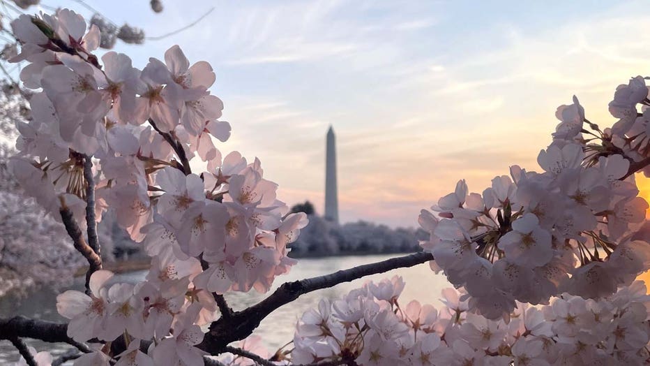
Peak Bloom (National Mall NPS / @NationalMallNPS)

Yoshino cherry trees mostly circle the Tidal Basin and extend onto the Washington Monument grounds. A portion of the Tidal Basin will remain closed through the 2026 Cherry Blossom Festival because of a $112 million seawall reconstruction project aimed at reducing flooding and improving accessibility.

Here are some alternative places to view the cherry blossoms at peak bloom.

The Source: Information in this article comes from the FOX 5 Weather Team, the National Park Service and the National Weather Service. 

WeatherWashington, D.C.Wild NatureNews