

Thunderstorm closes Camelback's Echo Canyon Trail for over a week

Camelback Mountain trail remains closed for safety assessment
The popular Echo Canyon Trail on Camelback Mountain has been closed for more than a week following a powerful thunderstorm on Monday, Oct. 13. FOX 10's Lindsey Ragas hears from locals and visitors who've altered their hiking plans.
PHOENIX - The popular Echo Canyon Trail on Camelback Mountain has been closed for more than a week following a powerful thunderstorm on Monday, Oct. 13.
The gates accessing the trail remain locked as city of Phoenix crews inspect damage caused by the severe weather and resulting erosion.
The city said in a statement that its "top priority is ensuring the trail is safe before reopening." City officials have not provided a timeline for the reopening, directing hikers to other open trails like Cholla Trail.
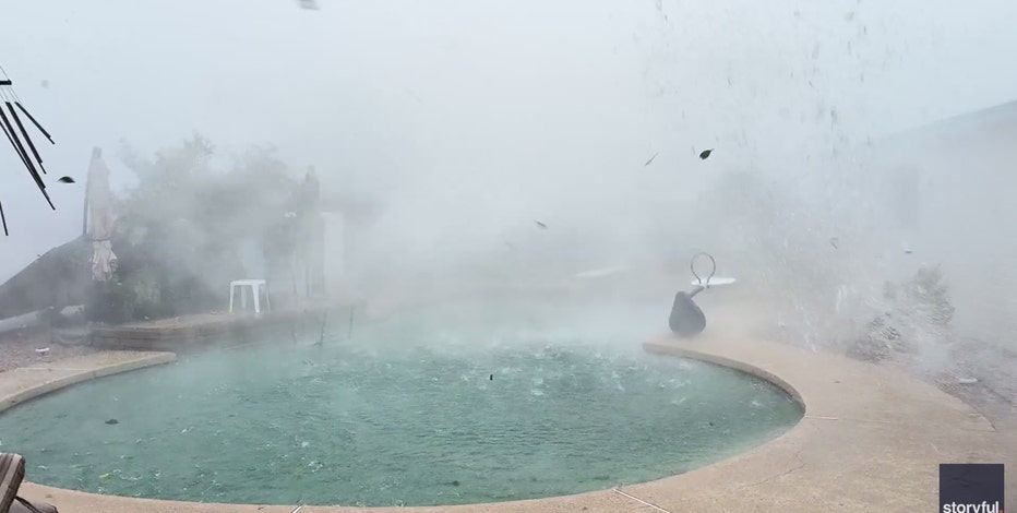
Powerful storm rips through Arizona backyard
A powerful storm tore through parts of Arizona this week, leaving behind widespread damage in Tempe, Guadalupe, and Scottsdale.
What they're saying:
The closure is forcing locals and visitors alike to alter their plans for one of Phoenix's most visited spots.
"There was another guest at the conference who researched it and said this was actually the most challenging one, so it’s not a bad thing that we have to go do the easier one," said Leslie Feray, a visitor from Texas.
One local hiker, Nate Mills, described being on the Cholla Trail when the thunderstorm hit. "We went through a waterfall. The whole trail was a stream ... we were walking down a creek the whole time."
Camelback Mountain regular Matt Shaheen expressed frustration over the closure but acknowledged the need for safety.
"I’m extremely frustrated. I use this trail as a backup to hike, but I do prefer the other one to be honest."

Microbursts: Here's what to know about the destructive weather phenomenon
Parts of Tempe were battered on Oct. 13 as a result of a microburst in the area. Here's what to know about the potentially devastating weather phenomenon, and what you can do to minimize damage.
What you can do:
You can click here for updates from the city of Phoenix for updates on the closure.
Map of where Echo Canyon Trail is