

Coconino County flood risks rise as unprecedented monsoon rain saturates wildfire burn scars
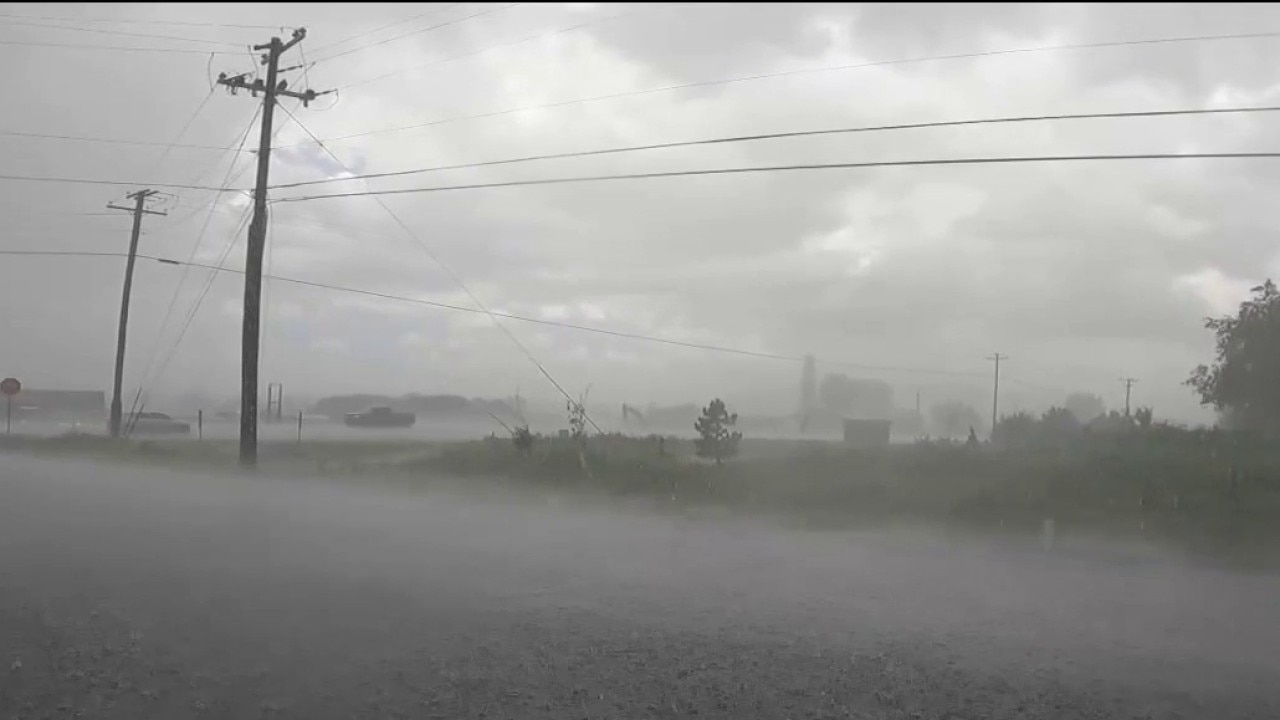
Coconino County monsoon flooding risks rise after unprecedented rain
Coconino County officials report that recent heavy storms have heavily saturated the ground. While millions of dollars have been spent on watershed restoration, the risk for neighborhood flooding is increasing as continuous rains threaten the high country. FOX 10's Jacob Luthi reports.
COCONINO COUNTY, Ariz. - The monsoon has arrived in Arizona, bringing frequent storms to the high country. While Coconino County has not experienced major flooding so far this season, officials say recent rainfall has increased the risk as burn scar areas become more saturated.
What they're saying:
Lucinda Andreani with the Flood Control District of Coconino County said the storms on July 18 brought unprecedented rainfall across burn scars from the 2022 Pipeline Fire and the 2010 Schultz Fire.
"This was over the entire 8 watersheds that had burned," Andreani said. "We had upwards of 4 inches of rainfall recorded and over 2.5 inches in a number of gauges."
The backstory:
Andreani said the area had been so dry after several years of below-average moisture that much of the rainfall was initially absorbed into the ground. But she warned that continued rainfall could quickly change conditions.
"Now what you are going to see is what we call much more responsive watersheds," Andreani said. "Water is going to flow off and there's nowhere for it to go now except to flow downhill and into the neighborhoods."
By the numbers:
Coconino County says it has invested about $120 million in watershed restoration and flood mitigation since the Pipeline Fire.
Officials say the mitigation system can handle up to two inches of rainfall in 45 minutes, but as the ground becomes more saturated, floodwaters can rise faster, exceed the system's capacity and increase the importance of emergency notifications.
What you can do:
"We really want to encourage everyone in the area to be very alert to the emergency alert notifications, be mindful of where your children are at all times, and take the necessary precautions," Andreani said.
Dig deeper:
Throughout the monsoon season, Andreani said county flood officials are working daily with the National Weather Service, using U.S. Forest Service burn maps to model potential flood paths before storms move into the area.
The Source: Information in this report was gathered from Coconino County officials, Lucinda Andreani with the Flood Control District of Coconino County.