

Glendale PD launches drone program to help fight crime
Glendale PD to use drones to fight crime city-wide
The Glendale Police Department has implemented a new drone system to assist in responding to community crimes and plans to establish launch pads throughout the city. FOX 10's Lindsey Ragas has more.
GLENDALE, Ariz. - The Glendale Police Department is using a new drone system to respond to crimes in the community, and it plans to have launch pads across the city.
What we know:
The Drone First Responder program has expanded to Arizona, and the Glendale Police Department is already putting it to use.
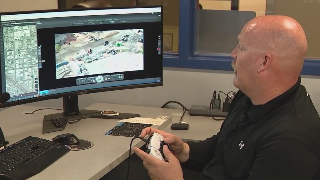
It allows Glendale Police officers like Ryan Enos to control a drone inside the real-time crime center from his computer.
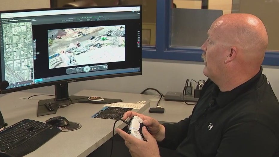
"Our desks are set up similar to a dispatch console, and we were able to have foot pedals and microphones built in for us. I can still fly and have both hands on the controllers, and be able to visually see what I need to see, and use the foot pedals to directly contact immediately the officers," he explained.
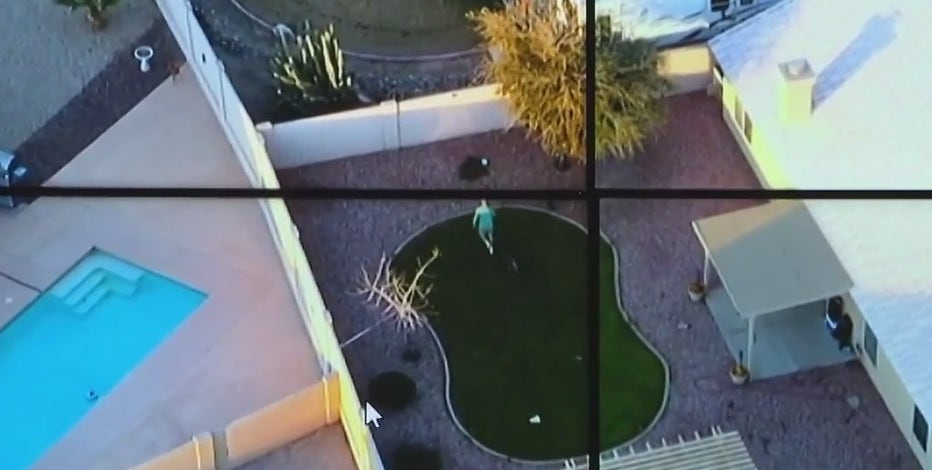
A look at Glendale Police's real-time crime center
We're getting a closer look into how the Glendale Police Department fights crimes and catches criminals in the act through its real-time crime center.
What they're saying:
The drone can fly within a two-mile radius, averaging about 90 seconds. The benefits go beyond operating the drone from inside.
"The DFR program, the Drones First Responder program, allows us to arrive on scene faster than patrol officers can get there," Enos said.
The new drone was put to the test on March 31.
"As we launch the drone, it was only a couple blocks from here. We were able to get eyes on that subject. He was leaving the scene on a bicycle and from there able to get patrol and direct patrol into where his location was," Enos explained.
The department's goal is to have seven more launch pads to cover the city.
"They'll be on the rooftop of fire stations, and we will be able to put those spread out equally across our city and seven locations to be able to give us our best, fastest response time at each location," he said.