

Oak Creek trails reopen north of Sedona after Pocket Fire closures

Hikers return to Oak Creek trails near Sedona
A majority of Oak Creek trails north of Sedona reopened Thursday, but recent monsoon flooding shows the creek is still purging ash and sediment left behind by the Pocket Fire. FOX 10's Nicole Krasean reports.
SEDONA, Ariz. - Many trails in Oak Creek north of Sedona reopened today following closures from the Pocket Fire in June.
What we know:
While hikers can once again enjoy a majority of the Oak Creek trails for the first time since the Pocket Fire burned this summer, the creek itself is still healing, still purging that sediment and ash, and environmentalists say people should not get into the water just yet.
Monsoon activity was captured by an Oak Creek resident Wednesday evening, Sept. 16, as floodwaters swept through the creek. This comes just a day before the Forest Service reopened a majority of trails in the Oak Creek area that were affected by the Pocket Fire in June.
Kelsey Whitaker with the Oak Creek Watershed Council says people should avoid wading in the creek itself until sample testing is done for contaminants and potential E. coli levels.

Hikers return to Oak Creek trails near Sedona after fire closures, but environmentalists caution against entering the creek due to ash, sediment, and potential contaminants.
Local perspective:
Over at the Briar Patch Inn, owner Rob Olson says they had to cancel more than 100 reservations this summer after the fire, but business is back to normal now, with crowds expected as the leaves start to change in the fall. He commends the firefighters who worked to get the Pocket Fire under control before it reached any buildings or structures and says he is happy guests will have their choice of trails near the bed and breakfast once again.
"It's great that they've opened the canyon and the hiking areas back up. Probably won't go swimming for a few days, but we do get a lot of guests who do come here for the creek activities, and so I know everybody's gonna be excited," said Rob Olson, owner and manager of Briar Patch Inn.
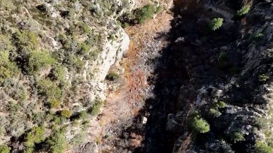
Oak Creek trails reopened Sept. 17 following the Pocket Fire. The Oak Creek Watershed Council urges hikers to follow guidelines to support nature recovery.
What's next:
A reminder that the West Fork Trail and some other areas are still closed until October.