

What are the worst times to travel home on Labor Day?
The Labor Day holiday weekend is coming to an end, and the last thing you want is to ruin that relaxed and refreshed feeling after taking one last summer vacation by getting stuck in heavy traffic on your way home.
If your return trips are flexible, you may want to consider leaving early or late on Labor Day to avoid traffic. But extreme weather could have an impact, too.
LABOR DAY WEEKEND FORECAST: WINNERS AND LOSERS OF SUMMER'S LAST HURRAH

Monday's Labor Day weekend forecast. (FOX Weather)
So, if you’re traveling by car, when are the best and worst times to hit the roads?
In general, AAA suggests heading home before 11 a.m. local time on Sunday, with the worst travel times occurring between 12 p.m. and 5 p.m.
On Monday, Labor Day, you may want to start heading back before noon local time and avoid traveling between 1 p.m. and 4 p.m.
As always, those times are merely suggestions. And you’ll want to have the free FOX Weather app handy to check the latest forecast to make sure your trip home isn’t slowed by rain or thunderstorms in addition to heavy traffic.

This animated image shows the flood threat on Monday, Sept. 1, 2025. (FOX Weather)
If you're traveling through parts of the southern Plains, the Deep South or Southwest - flooding rain is possible through Monday. The FOX Forecast Center says this is due to a stalled-out cold front that will be responsible for producing repeated rounds of precipitation and storms.
Portions of the central Plains will also see rounds of heavy rain and storms from Nebraska and Kansas into Iowa and Missouri.
The FOX Forecast Center said showers are expected to last through Monday before the system moves off into the Tennessee Valley.
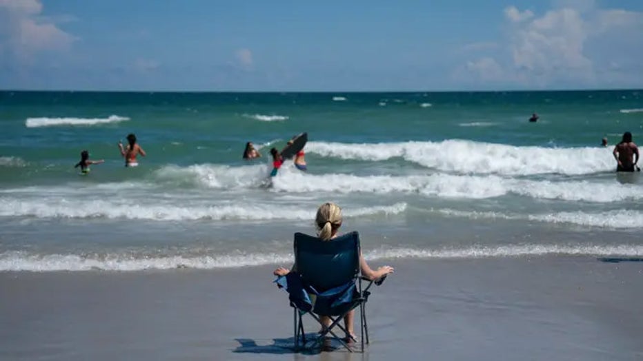
FILE: A woman sits on the beach on September 1, 2024 in Wrightsville Beach, North Carolina. (Allison Joyce / Getty Image
Florida, too, could be slow-going because of the weather.
The Sunshine State is seeing an active pattern that has repeated rounds of rain and thunderstorms in the forecast over the next several days.
So, take it slow and adjust your travel times if you can.
The bottom line? Travel conditions across most of the U.S., except for Florida, the South and parts of the Southwest, appear to be good with no major weather impacts.
However, the FOX Forecast Center said that by late Monday afternoon, scattered showers and thunderstorms will begin to creep back into the Southeast.