

2021 Map: Every wildfire burning in Arizona

Arizona in need of monsoon rain due to wildfires
Fire Behavior Analyst says rainfall might not be enough.
PHOENIX - Arizona firefighters are battling multiple wildfires across the state as high temperatures continue.
By April 2021, Arizona was already having an active wildfire season, which was expected per the National Weather Service's 2021 wildfire forecast.
The state now has over 20 active wildfires. While some are small, others are growing rapidly and causing evacuations.
Below is a map of the different wildfires across the state:
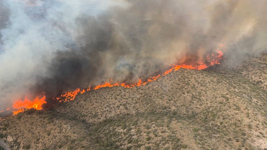
Tiger Fire
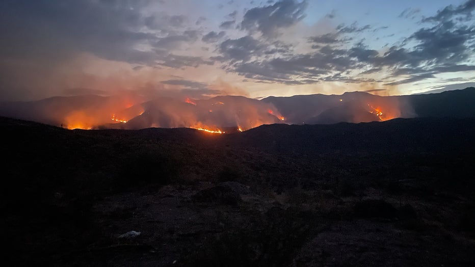
Photo of the Tiger Fire, taken at 8:32 p.m. on July 1, 2021 (USDA.gov)
The U.S. Forest Service say the Tiger Fire began with a lightning strike in the Castle Creek Wilderness on June 30.
Read our full story on the Tiger Fire here.
Painted Fire
State Route 88 is closed between milepost 243 at Roosevelt Lake and milepost 229 south of Apache Lake, according to the Arizona Department of Transportation.
Read our full story on the Painted Fire here.
Rafael Fire
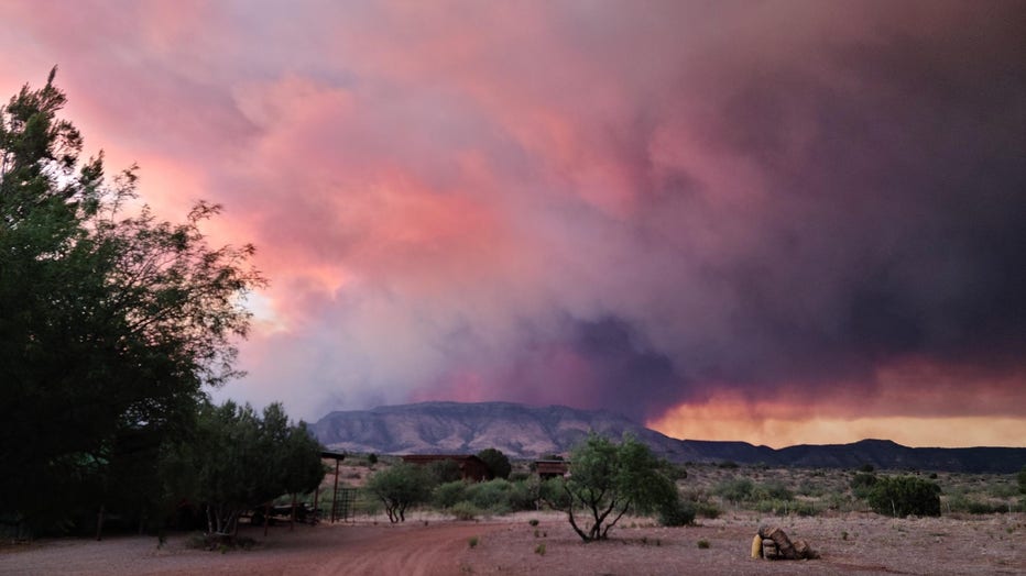
The Rafael Fire (Photo: Curt Garner)
The lightning-caused Rafael Fire, which started near Perkinsville, is now mostly contained. A few evacuations have been ordered, however, most communities are under the "SET" status. Coconino National Forest officials decided to close the forest on June 23 due to the fire.
Read our full story on the Rafael Fire here.
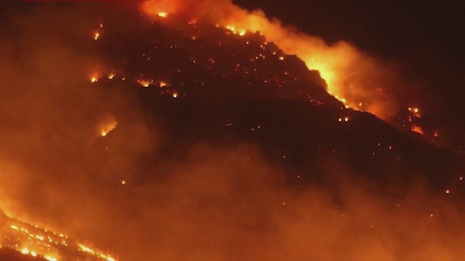
Backbone Fire
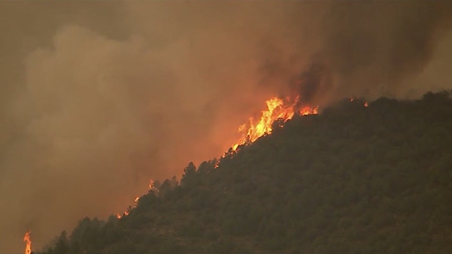
SkyFOX is over the Backbone Fire near Pine.
The Backbone Fire, also caused by lightning, started shortly before midnight on June 16, about 12 miles west of Strawberry near a ridge named Ike’s Backbone. Evacuation orders for multiple communities have been lifted and highways have reopened. At one point, the wildfire became the top priority wildfire in the United States, according to Mike Reichling with the Southwest Incident Management Team.
Read our full story on the Backbone Fire here.
Wyrick Fire
(Inciweb)
Evacuations have been lifted amid the Wyrick Fire that is burning near Heber, Arizona that started on June 19 due to a lightning strike.
Read our full story on the Wyrick Fire here.
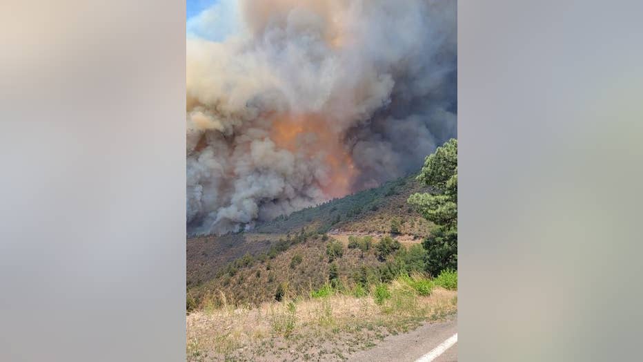
Telegraph Fire
Telegraph Fire (Tonto National Forest)
The Telegraph Fire is the 6th largest wildfire in Arizona history after burning over 180,000 acres near Superior. It started on June 4 and has been raging since. Evacuations orders have been lifted and highways have been reopened, however, multiple structures were lost. Eventually, the Telegraph Fire merged with the now fully-contained Mescal Fire.
Read our full story on the Telegraph Fire here.
Pinnacle Fire
Evacuations orders have been rescinded for multiple communities amid the Pinnacle Fire, which started on June 10. Crews say winds, heat, and rough terrain have made firefighting efforts a challenge.
Read our full story on the Pinnacle Fire here.
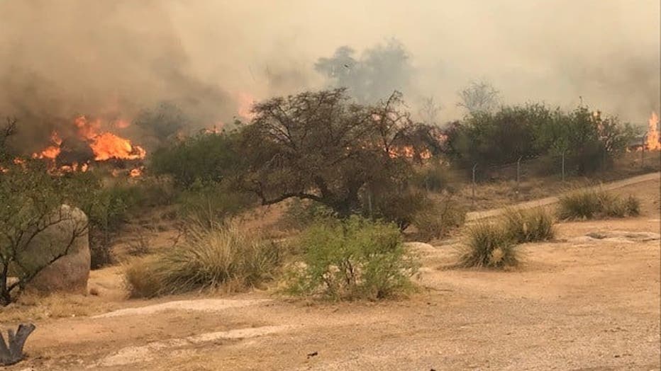
Bear Fire
(Courtesy: Apache-Sitgreaves National Forest)
Another wildfire in the Apache-Sitgreaves National Forests is the Bear Fire. The lightning-caused fire began on June 16 and has prompted highway closures.
Read our full story on the Bear Fire here.
West Chev Fire
Evacuations have been lifted amid a wildfire that is burning 13 miles from the Forest Lakes community.
Read our full story on the West Chev Fire here.
Walnut Fire
Walnut Fire (Cochise County Sheriff's Office)
A wildfire that burned over 10,000 acres near Benson and Willcox is now 100% contained, officials announced.
Read our full story on the Walnut Fire here.
More Arizona wildfire news
- Apache-Sitgreaves, Coconino, Kaibab, Tonto, Prescott National Forests to close due to wildfire activity
- Community of El Capitan feeling impact of Telegraph Fire devastation
- 72,000-acre Mescal Fire near Globe now 100% contained
- Arizona governor signs $100M wildfire funding plan